
Case Study: Implementation
Geospatial Design at Scale
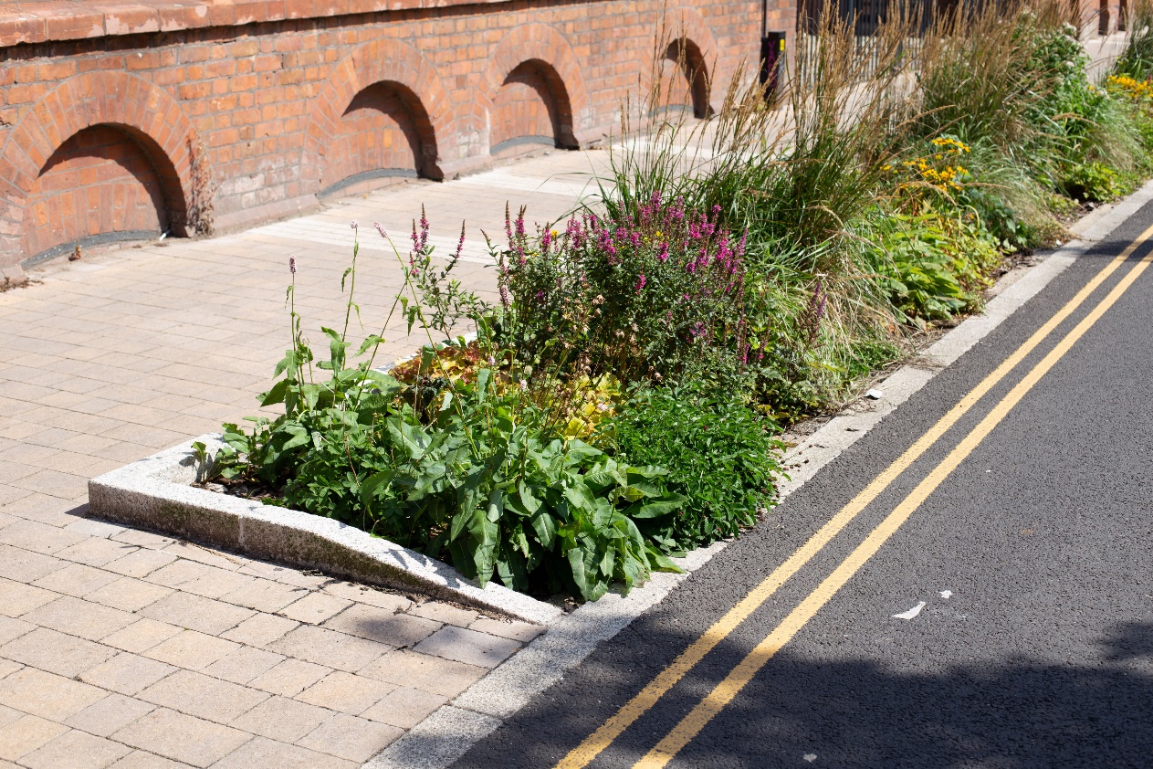
CADA helped transform street-by-street drainage design into a scalable, rules-based geospatial process with town-level strategic insight. Offering £Ms of potential savings, the client intends to reuse the process and tool across a number of other towns.
The Ambition
Traditional intervention design was laborious and made it hard to understand whether local designs were contributing enough to a strategic flood-reduction target.
We recommended the development of design rules to give an indication of when a given intervention type might be used based on geospatial properties of roads, buildings and land usage.
How We Added Value
- Developed and pitched a novel digital design process alongside the traditional workflow.
- Used iterative prototyping and frequent stakeholder review to sustain trust and momentum.
- Delivered a web-hosted dashboard enabling scenario comparison and performance interrogation.
Strategic Delivery Phases
Identification
Captured tacit design knowledge and formalised it as practical geospatial intervention rules.
Planning
Collaborated with design teams to validate and iterate rule sets in short development sprints.
Delivery
Applied the rules across a full town to assess intervention opportunity, viability, and prioritisation.
Proof of Concept
Dashboard enabled stakeholders to readily assess scenarios with their associated predicted performance measures.
Outcome
- Created a digital assessment and visualisation tool to inform strategic planning.
- Enabled evidence-based prioritisation of interventions across a large urban area.
- Established a repeatable method the client plans to reuse for other towns.
Scaling intervention design across regions?
Turn expert design knowledge into repeatable rules and prioritisation workflows for wider deployment.
Design at scale with CADATools and Methods
- Geospatial Analysis
- Process Mapping
- Dashboard Prototyping